
Sources for a Voorhees Neighbor Block
One address can be examined through several public layers, but each layer has a narrow job. Camden GIS is the geographic starting point. The Tax Data Hub can provide property context. Township organization pages identify public groups. Election maps show voting geography. None of these sources is a household roster, and no source should be used to infer a current relationship between people at nearby parcels.
| Source | What it shows about a block | Access and limit |
|---|---|---|
| Camden County GIS | Address, parcel, block/lot, PIN, property profile, and selected parcels within 200 feet | Public viewer; use the result as parcel geography, not a people list. |
| Camden County Tax Data Hub | Assessment filters and property attributes | Public portal; recorded owner and property roles still need careful interpretation. |
| Voorhees community pages | Public organization and association contacts | Official contact layer; it does not publish membership rosters or boundary maps. |
| Camden election maps | Ward and district geography | Map access; a district is not a social neighborhood. |
For a full named-street record trail rather than the immediate block, use the Voorhees streets reference. It addresses parcel and record research by street without turning adjacent properties into a directory of people.
Map Voorhees Neighbor Parcels
The Camden County GIS viewer searches by address, block/lot, owner, PIN, or street. It can generate a property card or profile and can select properties within 200 feet, with PDF and Excel output. A parcel is a mapped unit of land. It is not a statement about occupancy, friendship, family, or membership in a neighborhood group.
Address → USPS form → GIS parcel → nearby parcels → record role and date → public community contact. This flow keeps the task geographic until a published organization contact is actually relevant.
- Preserve the source address, then use USPS to normalize the street suffix, city label, ZIP, and ZIP+4 where available.
- Enter that address or a known block/lot, PIN, or street in the GIS viewer and confirm the displayed parcel.
- Open the parcel profile or property card, then use the within-200-feet selection only for nearby parcel geography.
- Compare a relevant property record by role and date, then direct a community question to a published organization contact.
USPS provides the postal form, while the GIS match supplies the mapped parcel and municipal location. Keep both results when a source-era address uses different wording.
Separate Voorhees Neighbor Record Roles
Property records can name several roles around a single place. A recorded owner is the party shown in a deed or assessment field. An assessed owner is a tax-record role. A construction applicant or contractor is connected to a permit process. A resident is a different claim and requires a current, explicit basis. Do not turn a mailing address, a permit application, or a deed party into a conclusion about who lives at a parcel.
The Camden County Tax Data Hub displayed data imported August 27, 2026 during the research pass. It has filters for owner, property, B.L.Q., class, sales date and price, building size, and year built. Those fields are useful property context, but the captured material did not establish a complete neighbor or occupancy search.
The Voorhees Construction page describes permit and inspection requests through its official routes. A completed-work request uses a permit number, property address, work detail, and desired date, so it is a procedure record rather than proof of who occupies a place.
The Voorhees Construction reference is the source for this neighbor lookup record-role distinction.
Separating roles protects against the common mistake of reading one property field as a full description of a household.
Why 200 Feet Is Not Neighbors
The GIS tool's 200-foot selection is a useful quirk because it gives a repeatable geographic radius around a parcel. It is not a neighbor roster. Parcels within that distance can be separated by roads, commercial space, common areas, different associations, or other boundaries. The viewer can produce a map, a property profile, or a selected-parcel report, but the result should stay a neutral account of nearby parcels.
Geography first. Describe “parcels near this parcel” or use a generalized map after privacy review. Do not publish mailing labels, private owner names, or inferred household ties from a 200-foot selection.
That distinction is especially important when a public parcel source and a social term happen to share the word “neighbor.” The source measures location, not connection.
Official sources identify a custodian, source date, and limited record purpose. Commercial neighbor tools are a separate category, not a substitute for those source limits or for an original-record check.
| Source category | What it can support | What must still be checked |
|---|---|---|
| Official parcel, election, or organization source | Its documented geographic or public-contact function | Record date, role, scope, and privacy restriction |
| Commercial neighbor tool | A possible lead only, without a claim of completeness | Original official source, current status, and whether personal data should remain private |
Voorhees Neighbor Community Contacts
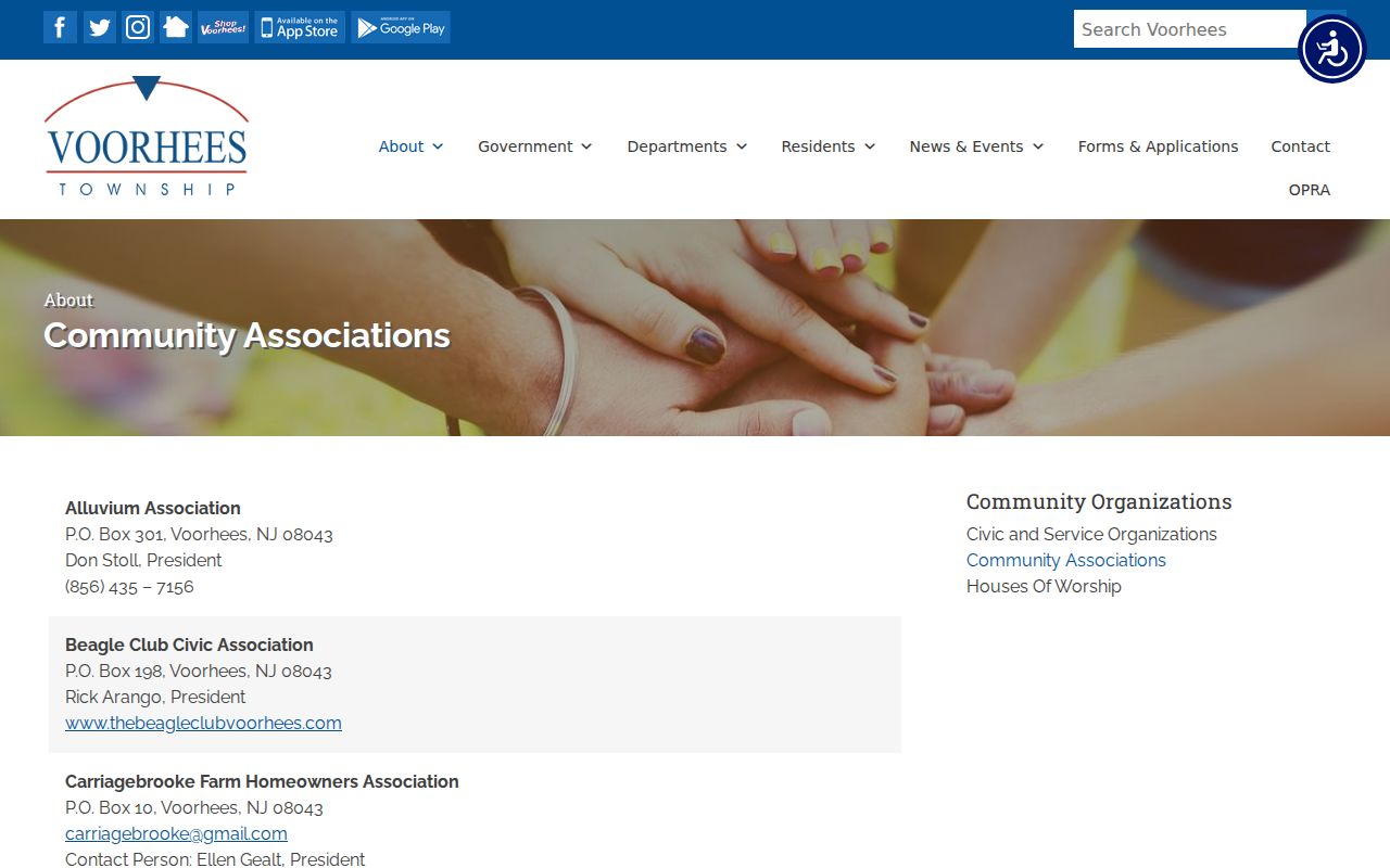
The Voorhees community-associations page is a public organization index. It lists names that can help identify the right public contact for a community question. The page does not provide a membership roster, a map proving every parcel belongs to an association, or a list of residents. Treat these as organization names and public contact leads only.
Alluvium and Beagle Club
Official community-listing names that can guide a public-contact question, not membership or parcel-affiliation proof.
Carriagebrooke and Maison Place
Association identities for a specific question, not a resident list or household connection.
MAMCO and MEWS# Echelon
Named community layers that do not provide a boundary map or private account access.
Sturbridge Organizations
Sturbridge Estates HOA and Sturbridge Woods Association are official listing names, not proof that nearby parcels share an association.
The official association index provides the public listings used for a Voorhees neighbors inquiry.
Contact the organization directly for any opt-in information, meeting details, or current public point of contact.
Compare Voorhees Neighbor Boundaries
Association, parcel, postal, and election boundaries should remain separate. The Echelon Common Facilities Association describes a master association that includes residential subdivisions, commercial buildings, apartment complexes, the library, and town center amenities. That mixed scope makes it a clear local example of why an association footprint should not be treated as a municipal boundary or a list of people who know each other.
| Boundary type | Useful question | Not a substitute for |
|---|---|---|
| Parcel | Where is the mapped property? | Current occupancy or social ties |
| Association | Which organization may hold a public contact? | Membership or a legal parcel map |
| Postal label | How is an address standardized for delivery? | Township limit or parcel geography |
The official Voorhees community-organizations page separates associations, civic and service groups, and houses of worship as public categories.
The community-organizations listing is the source for these public, non-membership contact categories.
TownSq account details and resident interactions associated with Echelon are private and should not be collected or republished.
Election Geography for Voorhees Neighbors
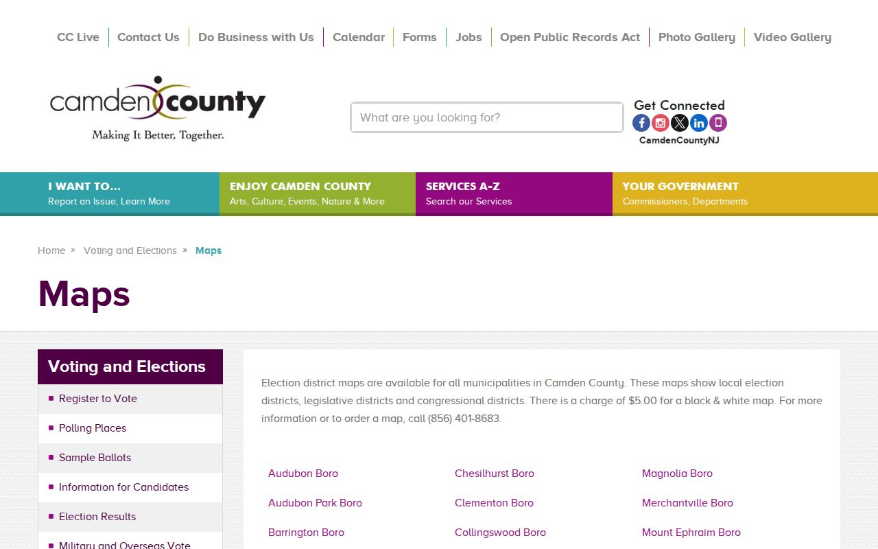
Camden County election maps include Voorhees. They can help identify a ward or district when that is the civic question, but an election district is not a social boundary. People assigned to the same district may live far apart, while immediately adjacent parcels can fall into a different district. Keep the map's role clear and do not use it to draw conclusions about a block's households.
The county election-map page is the source for this limited geographic layer.
For a civic record request, direct it to the appropriate election custodian with a precise date, record type, fields, redactions, and format.
Voter Limits for Voorhees Neighbors
New Jersey's voter self-check is for confirming one's own registration. The live registration-check page returned a 403 response during this research pass, and its current form fields and result display were not verified. N.J.S.A. 19:31 governs election-record context and protects signatures and verification identifiers. No current full-file order form, exact export format, or fee schedule was documented for this research.
A voter record is not a basis for a public page of Voorhees neighbors. Public-list rules and OPRA treatment have limits, and the information is time-sensitive. A lawful request belongs with the custodian and should identify its date, field scope, redactions, format, and purpose rather than asking for a broad neighborhood list.
The New Jersey voter-record statute is the source for the statewide system and protection context.
Use the official self-service route for registration questions and leave voter records out of a private-neighbor list.
Privacy Rules for Voorhees Neighbor Lookups
New Jersey's Open Public Records Act, N.J.S.A. 47:1A-1 et seq., directs a request to the custodian holding the record. When a record is available, the normal response period is as soon as possible and no later than seven business days. A specific request should name the record, date range, department, preferred format, and redaction preference. A broad demand for all records about people on a block is both overbroad and unsafe.
Protected information must stay protected. The New Jersey Address Confidentiality Program, N.J.S.A. 47:4-1 et seq., provides a substitute legal address in covered situations. Daniel's Law, P.L. 2021, c.371, shields specified covered persons' home addresses and unpublished phone information on government sites. Do not republish a protected address from another source.
Lawful use. Keep a Voorhees neighbor lookup to neutral parcel geography, public organization contacts, and personal safety awareness. Do not use address information to watch, harass, intimidate, or harm anyone.
Note: Mailing labels, private contact details, dates of birth, account information, and inferred household relationships do not belong in a block-level reference.
Verify a Voorhees Neighbor Record
Verification is also a safety practice. On February 6, 2026, Camden County warned about fake Planning Commission invoices and told residents to verify payment instructions through official channels. Do not follow an unexpected payment link copied from a message or record. Check the responsible government page, then contact the office through independently confirmed information.
The county's Property Alert service is a separate self-protection option. It sends free email alerts when a document carrying the subscriber's name, such as a deed, mortgage, or lien, is recorded. It is for monitoring one's own record trail, not a public directory of subscribers or affected properties.
The Camden Property Alert enrollment page is the source for this private record-monitoring tool.
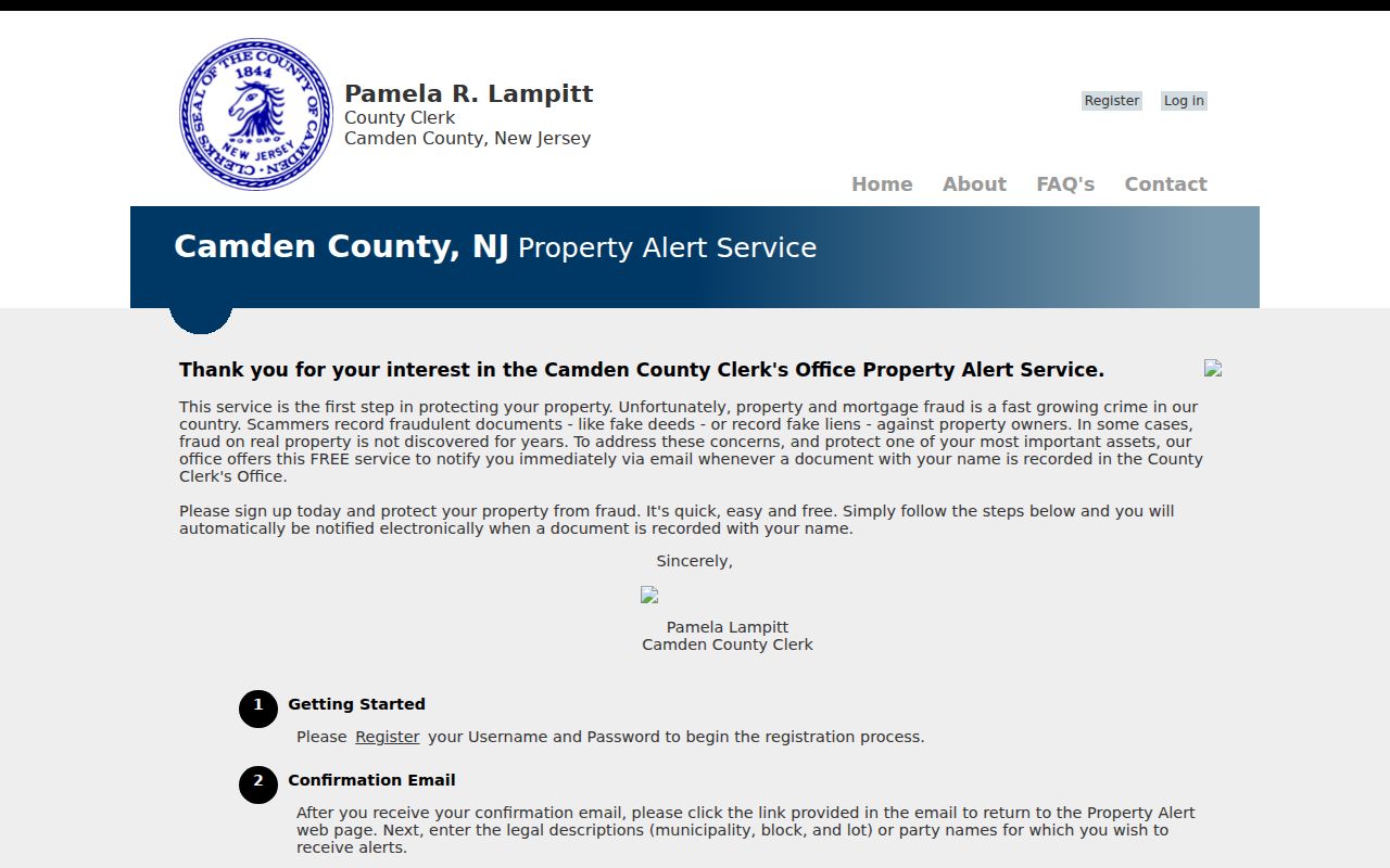
Use an official source and the right custodian to confirm a property question, while keeping any personal result private.