
Search a Voorhees Street Directory
Address research in Voorhees works best as a four-way check. Preserve the address exactly as it appears in a deed, old directory, notice, or newspaper. Normalize its current postal form with the USPS lookup, locate the parcel in the county GIS, and compare the parcel details with the assessment hub and recorder index. The parcel identifier or block and lot often holds the trail together when a mailing label or street number has changed. A title record may identify a party to an instrument, while a tax record may list a mailing destination, so neither one alone establishes present residence.
- Enter the address in the Camden GIS viewer and save the street spelling, block and lot, PIN, and parcel profile details that match the property.
- Use that address or block-and-lot clue in the Tax Data Hub to review the assessment record, owner field, property class, sales detail, and import date.
- Search the owner or legal-description clue in Camden Search Anywhere, then record the instrument number, book and page, party roles, town, and recording date.
- For an individual checking their own registration, use the state voter self-check. For a defined election record, ask the Camden election custodian about the lawful request route and available redactions.
- When the trail becomes historical, retain the old address form and consult the library or archival deed sources rather than forcing a modern street match.
That order separates a property record from evidence about a household. It also makes a disputed address easier to revisit later because every step leaves a location, identifier, or record date to compare.
Voorhees Street Directory Property Filters
The Camden County Tax Data Hub is the assessment layer for a street-by-street search. It was scoped to Voorhees in the research URL and displayed an import date of August 27, 2026. Its owner and property filters can narrow a search, while the B.L.Q. field provides a block, lot, qualifier style route. The page also offers property class, class-4, sale-date, sale-price, building-square-footage, and year-built filters. An assessment result is a property clue, not a statement about who currently occupies a home.
| Tax Hub field | Search use | Format or caution |
|---|---|---|
| Owner name | Tests an owner spelling against assessment data. | * matches multiple characters and ? one character. |
| Property | Starts from an address-oriented property clue. | Compare the returned property with GIS before relying on it. |
| B.L.Q. | Connects a block, lot, and qualifier style identifier. | Use the parcel details, not a guessed address match. |
| Sale date and price | Helps identify a likely transfer to verify in deed records. | A sale field is not an assessed value or current market value. |
| Building size or year built | Distinguishes similarly named parcels. | Use as a cross-check, not a household identifier. |
Voorhees Assessor directs users to current county assessment and GIS resources and notes that deeds dated 1976 and later are available through the municipal link. The Board of Taxation is a separate verification route when a written ownership or deed-book cross-check is needed.
The Voorhees Assessor page is shown in this property-record screenshot. It points an address search toward the municipal assessment context before the county sources are compared.
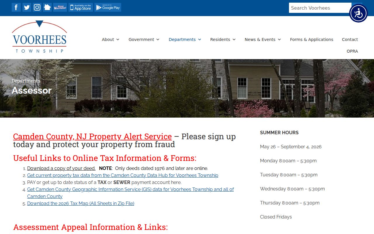
The municipal page is useful for identifying the official assessment route, while the county tools supply the parcel-level search functions.
Voorhees Street GIS Parcels
The Camden County GIS viewer is the geographic check in a Voorhees street directory search. It accepts address, block and lot, owner, PIN, and street searches. A selected parcel can open a property card or parcel-profile report, and the viewer can print or create PDF and Excel outputs. Its selected-properties-within-200-feet tool is a parcel-context feature, not a public roster of people. Use it to confirm which parcel a street address reaches and whether the street label matches the deed or assessment record.
Street search is especially helpful around county routes such as Burnt Mill, Cooper, Evesham, Haddonfield-Berlin, Kirkwood-Gibbsboro, Kresson, and White Horse. The route list supplies geographic language, not a shortcut to a resident list. If a record returns a mailing address elsewhere, keep it separate from the GIS situs address, which is the property’s physical location.
The viewer’s parcel profile, property card, and street mode are complementary, so a result should be checked in more than one view before it is treated as a match.
Voorhees Street Directory Deeds
Camden Search Anywhere ties a street research trail to recorded instruments. It supports party name, document type, town, date, consideration, instrument number, book and page, block and lot, legal description, map, district, parcel, case or parcel, and PIN-style searches. Modern online county property-record coverage begins in 1978. Begin with the smallest reliable detail from the parcel record, then use the deed result to identify party roles and its legal description. The index can point to a record image or cart workflow, but access to images or printing can require an account.
Save the instrument number and recording date rather than relying on a single displayed name. Search Anywhere distinguishes direct and indirect parties, references, linked documents, and record statuses. Its R status means replaced and C means correction. Follow the linked record before deciding that a row is the final version of a deed trail. The recorder route is strong for transfers, releases, liens, and corrections, but it does not provide a confirmed reverse directory of residents by street.
Camden Property Records Online is the source shown in this recorder screenshot. Use its public search as an instrument index, then retain the record identifiers needed to ask the Clerk for the appropriate copy.
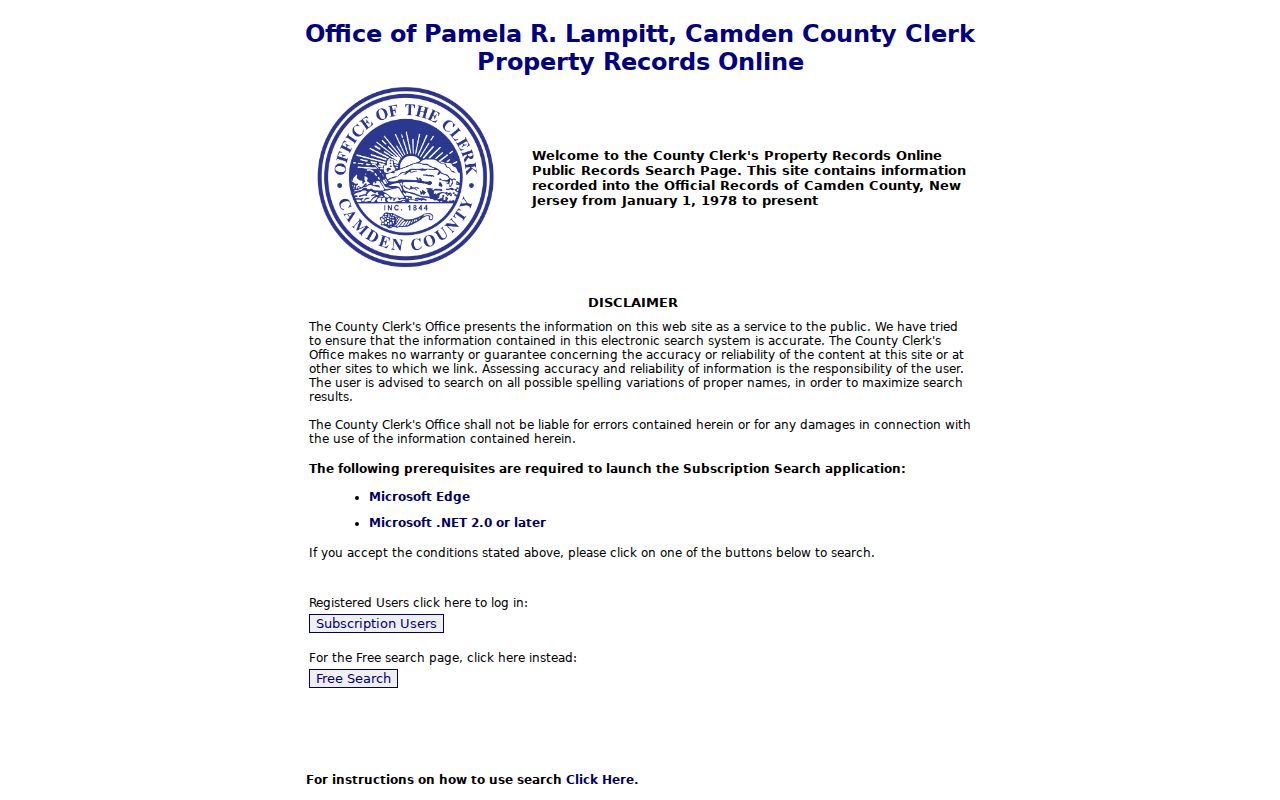
A deed party, parcel owner, and resident are distinct roles, and the difference matters most when a street has trusts, estates, businesses, or nonlocal mailing addresses.
Voorhees Address Record Coverage
Several Voorhees and Camden County sources are searchable from an address or parcel clue, but each answers a narrower question. The table keeps the evidence type visible so a search does not overstate what a public record proves.
| Address-keyed source | Keeper | Useful result | Access route |
|---|---|---|---|
| Assessment data | Camden County Tax Data Hub | Property, owner field, B.L.Q., sales and building clues | Online filters and Excel download |
| Parcel geography | Camden County GIS | Address, street, block and lot, PIN, property card | Online viewer and PDF or Excel outputs |
| Recorded instruments | Camden County Clerk Registry | Instrument, party role, date, legal description, linked record | Search Anywhere and Clerk copy route |
| Permit and inspection record | Voorhees Construction | Public work-history request tied to a permit or address | Email or SDL request route |
| Code-enforcement material | Voorhees Code Enforcement | Specific municipal record when available | Office or records-request route, not a public index |
Construction requests go to Voorhees Construction at inspections@voorheesnj.com or through SDL. The request should include the permit number or property address, work detail, and desired date. The township asks for 24 hours of lead time and says completion may take up to three business days. Code Enforcement investigates property-code matters, but its page describes a contact and request route, not a searchable public case list.
Note: A named party on a permit, deed, or assessment record may be an applicant, owner, mailing contact, or prior party rather than a current resident.
Voorhees Street Directory Terms
Older documents often describe a property more reliably than the current street label. These terms keep an address search tied to the type of record being read.
- Parcel
- A mapped unit of land used by assessment and GIS systems. Its identifier can connect records even when an address is written differently.
- Situs address
- The physical location of the property. It differs from an owner’s mailing address, which may be outside Voorhees.
- Plat
- A surveyed map that lays out parcels, lots, streets, or subdivisions. It can help interpret a legal description.
- Criss-cross directory
- A historical address-oriented directory format. No confirmed complete reverse directory for Voorhees was identified in the research.
For a historic address, record both the wording on the source and the current normalized form. USPS then GIS then assessment and recorder records form the practical comparison sequence. The absence of an official Voorhees street-renumbering or renaming crosswalk means an unresolved historical match should remain uncertain instead of being silently merged with a modern address.
Voorhees Street Voter Limits
The New Jersey voter registration check is a self-check route. Its live page returned an anti-bot response during the research, so its exact form fields should not be guessed. It is not a street people list. New Jersey election law limits public list context and protects signatures, Social Security numbers, driver-license identifiers, and similar information. Registration status also changes over time.
For a defined election-record request, Camden’s Board of Elections and Commissioner of Registration is the custodian route. Ask for the current format, allowed scope, redactions, delivery method, and any fee rather than requesting a generalized list of people along a street. That approach respects the public-record boundary and lets the custodian apply election-specific limits alongside OPRA.
Note: A voter record is time-sensitive and role-specific, so use an official self-check or custodian response rather than treating it as a durable residence claim.
Voorhees Street Crosswalk Gap
No official Voorhees renumbering or renamed-street crosswalk was located. That is a useful finding, not a missing detail to fill by guesswork. County route names can help establish a geographic starting point, but the preserved historical address, USPS-normalized form, GIS parcel, block and lot, and deed legal description still need to agree. Before 1899, an early local reference may need a Waterford Township search; before Camden County formed in 1844, Gloucester County records can be relevant.
The county’s route finder supplies official route numbers for local roads. Use it as a geographic check, not as a substitute for a parcel match or a historic address crosswalk.
Voorhees Street Record Alerts
For a person monitoring records under their own name, Camden County offers a free Property Alert service when a deed, mortgage, lien, or another document containing that subscriber’s name is recorded. It is a self-protection tool, not a searchable street roster. Pairing an alert with periodic review of a personal parcel record can help a property owner spot a document that needs prompt confirmation from the Clerk.
Camden County Property Alert appears in this official service screenshot. The service supports record monitoring for the subscriber’s own name rather than public profiling of an entire street.
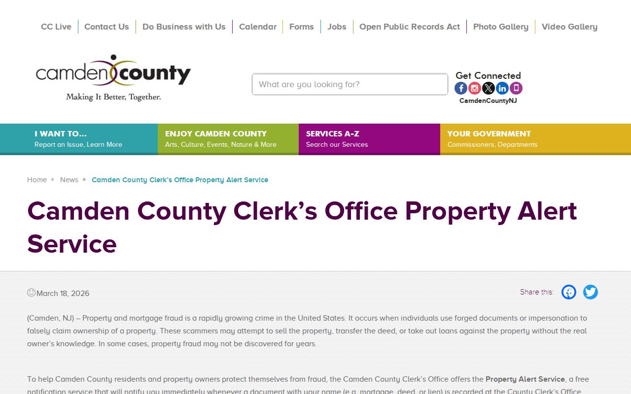
When an alert arrives, confirm the instrument through the Clerk’s record system and follow any replacement or correction links before drawing conclusions.
Limits of a Voorhees Street Directory
An address directory can organize public street-related sources, but it cannot establish every person connected to an address. Mail, utility accounts, motor-vehicle records, protected voter details, and other sensitive information are not a public street index. A property owner, deed party, owner mailing address, directory entry, and resident can all be different. For historic household work, the city directories collection provides the appropriate library-and-microfilm context rather than a claim about a current household.
Privacy protections can also remove or limit otherwise public material. Confirm a specific record with its custodian before relying on it, especially when an address is connected with a protected person, an old record, or an incomplete portal result.