
Voorhees ZIP Code Coverage
Official Voorhees Township pages consistently use 08043. That is the only ZIP confirmed by this research pass as serving the township, so the safe starting point is narrow rather than speculative. Nearby postal place names and ZIP areas may sit near a township line, but they are not additional Voorhees ZIPs without an address-level result. Use the postal service for delivery information and Camden County mapping for the municipal and parcel context.
| ZIP | Area supported by research | Post office label | Careful use |
|---|---|---|---|
| 08043 | Voorhees Township addresses shown on official municipal pages | Voorhees, NJ | Confirm the complete address with USPS; postal coverage does not define township limits. |
The township's official FAQ also uses the Voorhees, NJ 08043 form. It is a strong local baseline, not proof that every address with that ZIP lies inside the township.
That single confirmed row is intentional. The official-source review did not substantiate another ZIP entirely within Voorhees Township, and importing nearby aliases would make the ZIP code directory less reliable. For a location near a line, save the exact address searched, the postal response date, and the GIS parcel result. Those details make a later correction possible without guessing from a broad city label.
USPS Modes for Voorhees ZIP Codes
The USPS ZIP Lookup supplies three distinct paths. They are useful for normalizing a delivery address before comparing it with a deed, tax record, historic directory, or parcel profile. Each path returns mailing information, not confirmation that a person or organization is at the location. Keep the original spelling from a source record in notes when USPS standardizes a suffix or city label.
| USPS mode | Confirmed input context | Postal result described |
|---|---|---|
| By Address | Street address, city, and state | Standardized address with ZIP or ZIP+4 context |
| By City and State | City and state | ZIPs associated with the place entered |
| Cities by ZIP Code | ZIP code | Postal place names associated with that ZIP |
The USPS AIS Viewer adds address, city-state, county, ZIP+4, delivery-quality, and address-reference context. It is a reference tool, not a public list of residents.
Choose the mode that matches the information already in hand. A complete street address can be checked by address. A city-and-state search can test the postal labels returned for a place. A ZIP-first search can show associated postal place names, which still need parcel verification before they are used in a municipal record note.
The official USPS AIS Viewer screen shows the kind of postal reference used to check a Voorhees ZIP code directory entry.
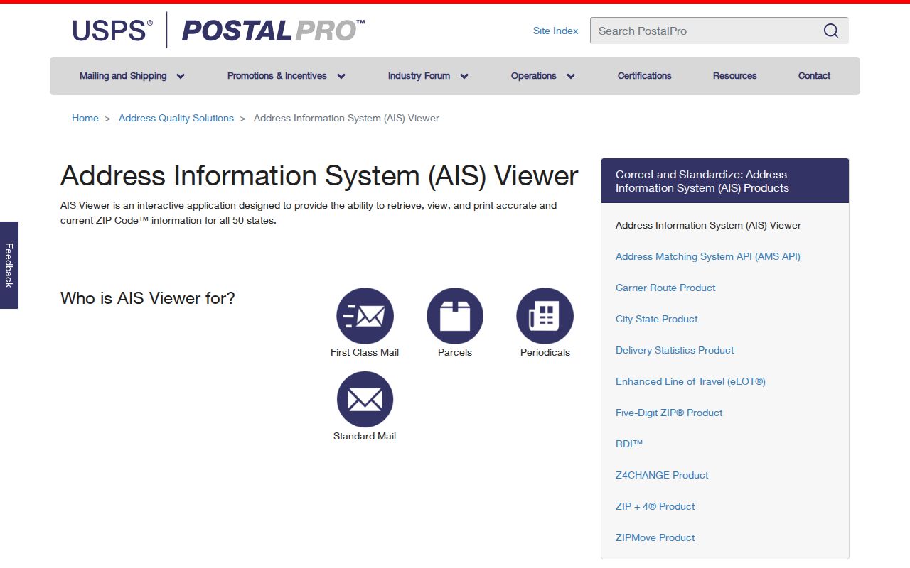
Use that postal result as one part of an address file, then compare it with the geographic record rather than treating it as an identity result.
Narrow a Voorhees ZIP Code Search
A ZIP-based search works best as an address-quality workflow. It begins with a full address and ends with the record custodian or parcel identifier that fits the question. This sequence avoids turning a broad postal label into a claim about a household. For a whole named street after the ZIP has narrowed the area, the Voorhees streets reference takes the address-record angle further.
- Preserve the address exactly as it appears in the deed, directory, notice, or other source, including its date.
- Run the address through USPS By Address to check its current city label, ZIP, and delivery format.
- Search the address, street, block/lot, or PIN in Camden GIS to identify the parcel and municipality.
- Use the relevant record custodian or property portal for the particular parcel question, while keeping mailing and situs addresses separate.
For a dated directory, deed, newspaper, or court caption, preserve the source-era address first. The postal form may be newer than the record. After the GIS match, compare the parcel identifier with the relevant tax or recorded-document description. That four-part check, source wording, USPS form, GIS parcel, and legal record, makes an address trail clearer without overstating what one ZIP result means.
Note: A postal result can standardize delivery information, but it does not prove current occupancy, a legal boundary, or a relationship to an address.
Kirkwood's Voorhees ZIP Code Clue
The 2007 USPS Postal Bulletin records a change from the Kirkwood/Voorhees NJ post-office name to Voorhees NJ. That is a useful search clue when a historical document carries the earlier postal wording. It does not show that the township moved, changed its municipal boundary, or acquired another ZIP. Postal naming and local-government jurisdiction have separate histories.
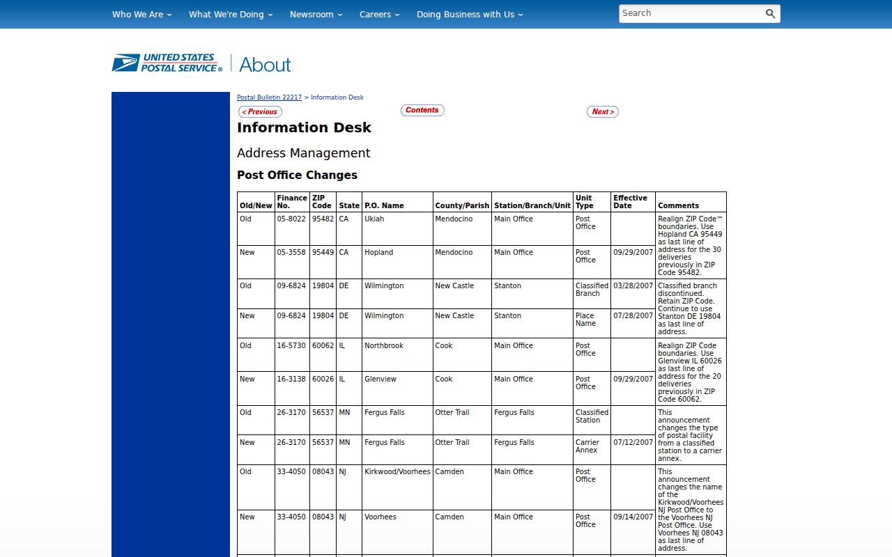
When an older address uses Kirkwood, retain that source wording and test the modern address separately through USPS and the parcel viewer.
Compare Voorhees ZIP Code Boundaries
Postal labels, municipal limits, and parcel boundaries are different kinds of geography. USPS tells a sender how an address is delivered. Camden GIS places an address or parcel inside mapped municipal context. A deed or assessment record may use a legal description, a situs address, or a mailing address. These fields can agree, but one should not substitute for another when a boundary question is disputed.
Postal versus municipal. A Voorhees ZIP code result needs USPS confirmation for delivery and GIS confirmation for parcel geography. Neither result alone proves a township boundary or current residency.
The Camden County GIS viewer supports address, block/lot, owner, PIN, and street searches and is the county's geographic cross-check.
Use the parcel identifier as a continuity key in research notes, especially if a mailing label and property location do not match. An owner mailing address can be outside Voorhees, while the situs address identifies the property itself. A historic directory address may identify a business office, a household head, or an institution. Label each field by its source role instead of merging them into one location claim.
Voorhees ZIP Code Delivery Terms
A five-digit ZIP is only the start of a delivery description. The local Tax Collector page uses 08043-1944 as an example, which illustrates why copying a five-digit heading into a full mailing label can be incomplete. It does not establish that ZIP+4 for any other address. The definitions below describe postal concepts without claiming that every one appears within Voorhees Township.
- ZIP and ZIP+4
- The five-digit code sorts a broad postal area. ZIP+4 adds delivery detail for a particular address or delivery segment.
- PO Box ZIP
- A postal code used for post-office boxes rather than proof of a street-delivery area. Research did not confirm a separate Voorhees Township PO Box ZIP.
- Unique ZIP
- A code assigned for a single organization or high-volume destination. No unique ZIP wholly within the township was substantiated in this pass.
- Carrier route
- A delivery-route grouping used by the postal system. It can help delivery operations but does not describe a municipal neighborhood.
The Voorhees Tax Collector page is the documented source for the 08043-1944 example.
The Tax Collector page capture places that ZIP+4 example in a municipal payment context.
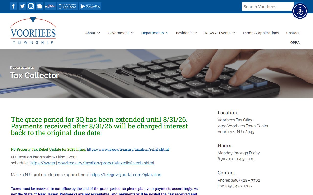
Enter a full address in USPS when ZIP+4 accuracy matters instead of extending this one documented example to another property.
Routes in the Voorhees ZIP Code Area
County route labels are a practical way to cross-check a street name across maps and older references. Camden County lists Burnt Mill 670, Cooper 675, Evesham 544, Haddonfield-Berlin 561, Kirkwood-Gibbsboro 684, Kresson 671 and 685, and White Horse 673 among the routes relevant to Voorhees. A route number can stay useful even when a postal label, street suffix, or historic source wording differs.
These route identifiers provide stable geographic vocabulary when a record uses a road name that is abbreviated or written in an older form. They can also help separate a road reference from an association or postal-place name. They do not replace a current USPS lookup, and the county route list does not establish ZIP coverage for every address along a named road.
The Camden County Route Finder is the source for these road identifiers.
Route data is a location cross-check, not a ZIP boundary map and not evidence that a person receives mail at a nearby address.
Parcel Context for a Voorhees ZIP Code
The Camden County Tax Data Hub can be scoped to Voorhees by its town query and offers owner, property, B.L.Q., class, sale, building, and year filters. Its displayed data-import date was August 27, 2026 in the research pass. The captured research did not verify an exact ZIP filter, so it should not be presented as a way to search all people or all parcels by ZIP.
Use the hub for the property fields it documents, then reconcile a result with GIS and the recorded legal description. An owner field, an assessed-owner field, a mailing address, and a current resident are different roles.
For a recorded instrument, Camden Search Anywhere supplies additional county search modes including party name, document type, town, date, consideration, instrument number, book/page, block/lot, legal description, map or district, and PIN-style identifiers. That recorder layer belongs after the postal and parcel match. Its documented modern online coverage begins January 1, 1978, while older Camden deeds and indexes use archival routes.
The post-office-by-ZIP screen is useful for checking historical postal context in a Voorhees ZIP code directory search.
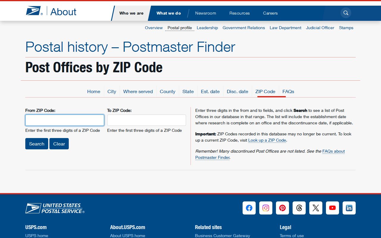
Historical post-office data can explain a label in an old record, but the current address still needs a current USPS result.
Resolve a Voorhees ZIP Code Conflict
When a postal result, township statement, and parcel search do not align, record each result with its source and date instead of forcing a match. Start with USPS for the standardized delivery form, then use Camden GIS for the parcel and municipality. A tax or deed record may carry a different owner mailing address, and a historical directory can use the wording current at the time it was published. No official municipal street-number crosswalk or ZIP realignment was located in this research pass.
For a disputed property record, the county or township custodian is the next verification point. The Voorhees FAQ provides current department contacts if a deeper municipal page changes. Do not fill a gap with an unverified nearby postal label.
The Voorhees FAQ page is a local contact reference for a ZIP code directory question that needs the proper department.
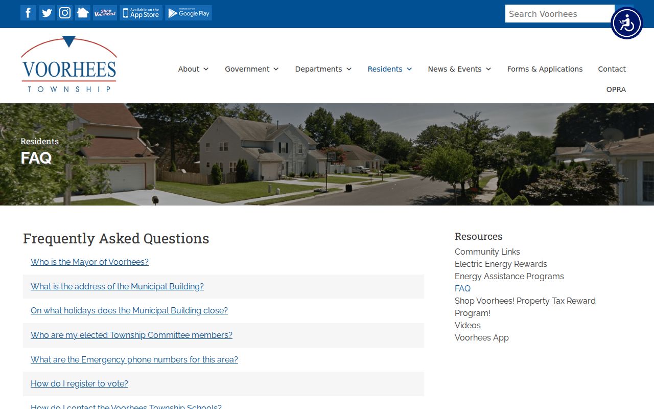
That final check keeps a delivery label, a parcel location, and a municipal record in their proper lanes.